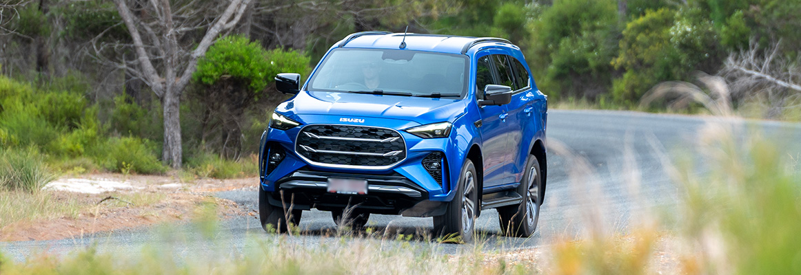
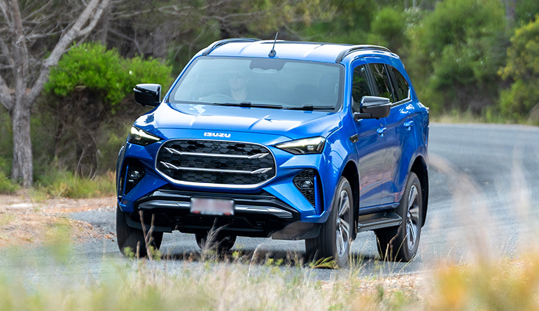
Anyone who has watched their fuel gauge drop in low range knows there’s a pay-off between frugality and off-road fun. Even without an all-terrain camper trailer in tow, once you’ve factored in crawling, sand, mud and the occasional “let’s try that again but slower”, your kilometres-per-litre and fun-per-kilometre figures typically rise at about the same rate.
Here are some suggested weekend excursions out of our state capitals that let your 4WD D-MAX or MU-X flex its muscles on the sort of topography it’s built to conquer without requiring a second stop at the servo. Probably.
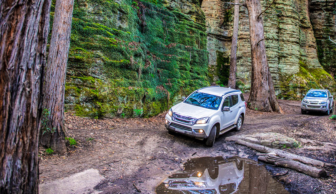
SYDNEY — Newnes, Lost City and Capertee Dirt Loop
Approx. 550–650km round trip
Skip the long highway hauls and dive straight into the good stuff west of the Mountains. From Lithgow, head into Newnes State Forest, explore the Lost City area, and loop out through Capertee Valley on a mix of gravel, clay and rocky tracks.
What you get
- Washed-out climbs and sandstone shelves
- Narrow forest trails with real isolation
- Big valley views without going full Outback
- Reasonable proximity to good coffee — or good proximity to reasonable coffee.
Pro tip: Don’t skip the walk-through and know your abilities. The grey clay around Newnes looks harmless when dry, but a sprinkle of rain can turn it into Teflon. Few sinking sensations are as anxiety-inducing as the feeling of sliding while parked.
MELBOURNE — Dargo & Blue Rag Range Hit Run
Approx. 550–650km round trip
You don’t need to cross the entire High Country to get humbled. Head Mansfield → Dargo → Blue Rag Range Track, with side forays onto steep fire trails around the Dargo area. There’s also the Billy Goats Bluff Track, Australia’s steepest gazetted road, just an hour from the iconic Dargo pub. Research your routes before departure and watch the forecast, especially regarding the high-country rough stuff between Mansfield and Dargo.
What you get
- Proper ridgeline driving on Blue Rag
- Steep, loose climbs and rocky pinches
- River crossings around Dargo that keep things interesting
- Mandatory $27 Dargo Hotel works burger
Pro tip: Blue Rag is exposed and windy – open your door without holding it and it’ll try to become a glider.
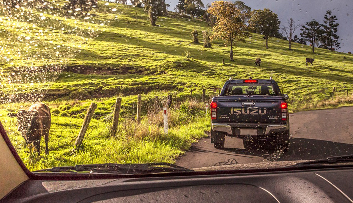
BRISBANE — Scenic Rim to Condamine River Track
Approx. 500–600km round trip
Head south into the Scenic Rim, then tackle the famous 45km Condamine River Track near Killarney and soak up more river crossings than the Moggill Ferry. Cambanoora Gorge, AKA the Condamine Gorge run, provides a morning of reasonably mild but undeniably fun off-road challenges.
What you get
- Dozens of shallow river crossings
- Rocky approaches and slippery exits
- Lush valley scenery that feels miles from the city
- Novelty obstacles, mostly fish (silver perch, occasional Murray cod)
Pro tip: Walk the first couple of crossings to judge depth and current. They’re usually easy… until one isn’t. And – obviously – think twice before plunging in following one of southeast Queensland’s reliably epic rain bombs.
PERTH — Mundaring Powerlines & Julimar Rough Tracks
Approx. 500–650km round trip
Western Australia laughs at your idea of ‘remote’. This loop is your introduction to that joke, allowing you to stay closer to Perth while still rattling your fillings loose. Explore the Mundaring Powerlines Track and rougher trails around Julimar State Forest. Although you can easily spend five hours at Mundaring alone.
What you get
- Steep, rutted climbs under powerlines
- Mud holes in winter, dust bowls in summer
- Tight bush tracks with plenty of articulation moments
- The chance to bail out via an access road or two if you run out of time
Pro tip: The mud holes on the Powerlines Track seem to get deeper every year thanks to “that one bloke with 35s”. Practice some good off-road citizenship and keep it maintained for the next driver.
ADELAIDE — Southern Flinders & Mount Remarkable Dirt
Approx. 550–650km round trip
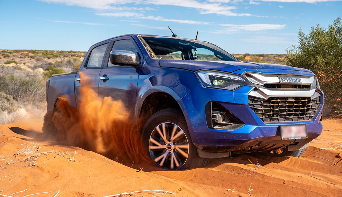
You don’t have to go full north to get good terrain. Head into the southern Flinders Ranges and around Mount Remarkable, mixing station tracks, rocky climbs and classic outback gravel. Great practice for heading further into the interior for classic South Australian terrain that looks like Mars did a photo shoot.
What you get
- Rocky creek-bed sections
- Steep, loose hills with great views
- Classic red-dirt Flinders scenery
Pro tip: Sharp shale here loves tyres more than you do. Drop pressures, pick lines carefully, and don’t assume your sidewalls are invincible, especially if you’re on standard road rubber.
HOBART — Central Plateau & Interlaken Tracks
Approx. 500–600km round trip
Head up to the Central Plateau, then explore rougher back routes around Interlaken and the lakes region, where forestry and hydro tracks range from cruisy gravel to properly chewed-up climbs. Fun fact: while the plateau is known as the ‘Land of a Thousand Lakes’, this is a significant understatement. There are actually around 3,000-5,000. Try not to drive into them.
What you get
- Remote-feeling highland driving
- Muddy ruts and rocky steps
- Big skies and wombats with zero road sense
- World-class wild brown trout fly fishing
Pro tip: Weather changes fast up here. A dry track in the morning can turn into a wheel-spin festival by afternoon if cloud rolls in.
DARWIN — Litchfield & Reynolds River Short Loop
Approx. 500–650km round trip
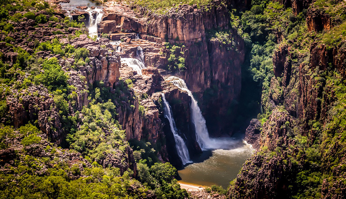
Keep it tighter but still wild: explore Litchfield National Park, then tackle the Reynolds River Track (season permitting) before looping back toward Darwin. Open between May and September during the dry season, Reynolds’ 44km trail between Tolmer and Wangi Falls is mostly moderately challenging, but with difficulty multipliers including recalcitrant water buffalo, saltwater crocs, and bone-melting humidity.
What you get
- Rocky, low-range sections
- Creek crossings and washouts
- Classic Top End bush with zero chill
- Leathery Dundee types keen to point out what is, and isn’t a knife
Pro tip: Check track conditions before committing – ‘open’ can still mean ‘you’ll be winching by lunch’. And never assume that water is croc-free just because it’s shallow.
CANBERRA — Brindabella Ranges & Flea Creek Area
Approx. 550–650km round trip
From Canberra, push into the Brindabella Ranges from around 30km west and explore steep trails around Flea Creek and surrounding forests on the NSW side. This area involves medium-to-advanced terrain, and the National Parks & Wildlife Service is keen to remind you, with signs reading ‘Steep Trail Ahead, High Clearance 4WDs Only, Engage Low Range, Slippery In Wet Conditions, Trailers Not Recommended’.
What you get
- Long, steep hill climbs in low range
- Deep erosion ruts and loose rock
- Big alpine views surprisingly close to the capital
- Great camping options
Pro tip: Even light rain can jack the difficulty factor here quickly; make sure you know what you’re doing ahead of any wet weather.